DJI Phantom 4 RTK
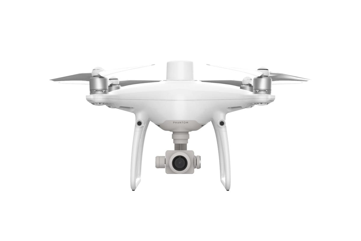
The DJI Phantom 4 RTK has integrated RTK centimeter positioning and a 20MP camera for professional photogrammetry. The mapping drone most widely used by surveyors worldwide. Full specs.
Price (USD)
$6,500
Full Specifications
| Weight | 1.39 kg |
| Flight Time | 30 min |
| Max Speed | 50.4 km/h (P mode) |
| Camera | 1" CMOS, 20 MP, f/2.8 (nadir and oblique) |
| Video | 4K/30fps, H.264/H.265 |
| Obstacle Avoidance | Omnidirectional (5 directions) |
| Max Range | 7 km (FCC) |
| Wind Resistance | Level 5 (24 mph) |
| GPS | GPS + GLONASS + BeiDou + Galileo + integrated RTK |
| Dimensions | 289 × 289 × 196 mm |
The DJI Phantom 4 RTK, launched in October 2018, established a new standard for professional photogrammetry with drones. For the first time, a drone at a relatively accessible price point combined a photogrammetric-quality camera (1" sensor with factory-calibrated lens) with integrated RTK positioning, eliminating the need to install dozens of Ground Control Points (GCPs) per mission.
More than six years after launch, the Phantom 4 RTK remains widely used by surveyors, engineers, and geotechnical companies. Its longevity comes from its proven camera quality, reliable RTK, and a robust software ecosystem (DJI Terra, Pix4D, Agisoft Metashape).
Why RTK Eliminates GCPs
In traditional drone surveying without RTK, achieving centimeter-level accuracy requires placing physical GCPs across the survey area, measuring their positions with a ground GPS receiver, and using those as reference points in photogrammetric processing. For a 50-hectare survey, this might mean 15–20 GCPs, each requiring a field visit to place and retrieve.
RTK eliminates most of this. The drone's positioning accuracy is centimetric from launch, meaning photogrammetric output (orthomosaics, DSMs, point clouds) achieves survey-grade accuracy with fewer or no GCPs. Mission productivity increases significantly.
Factory-Calibrated Camera
The 1" CMOS sensor with 20 MP and a factory-calibrated 8.8mm lens (35mm equivalent: 24mm) provides consistent, predictable geometric accuracy critical for photogrammetry. The calibration data (principal point, focal length, lens distortion parameters) is embedded in the EXIF metadata of every image, allowing photogrammetric software to compute accurate 3D reconstructions.
Software Integration
Compatible with DJI Terra (DJI's own mapping software), Pix4Dmapper, Agisoft Metashape, DroneDeploy, and most other major photogrammetric processing platforms. The combination of centimetric RTK positioning and a calibrated camera is what these platforms are designed to process.
Sources: DJI: Phantom 4 RTK specs